
Dec 22, 2021 10:03 PM - The Canadian Press
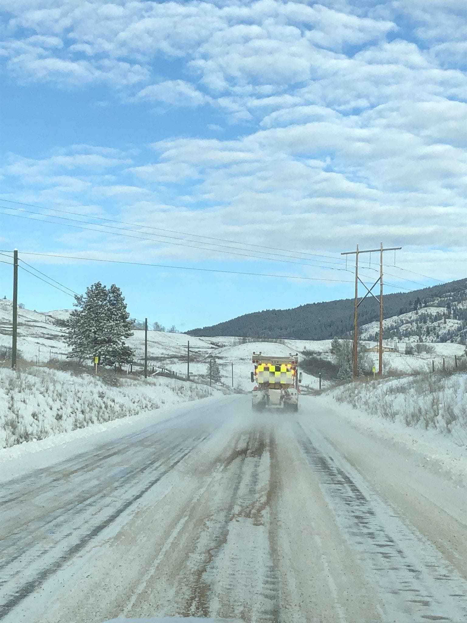
A weather system from the Pacific Ocean is forecast to bring heavy snow and the risk of freezing rain to several areas of southern and central British Columbia.
Environment Canada has issued snowfall and winter storm warnings until Thursday covering an area from the Fraser Valley to the Peace River district.
The Coquihalla Highway, which was recently reopened to commercial traffic, could see between 35 and 60 centimetres of snow with the heaviest accumulations on Thursday.
Higher mountain routes, including the Yellowhead, Highway 3 through the Kootenay and Allison passes, and Highway 1 heading east from the Revelstoke area, could see snow accumulations ranging anywhere from 15 to 70 cm.
A further 25 cm were expected Wednesday night along the Sea to Sky Highway from Squamish to Whistler.
Arctic outflow winds combined with falling temperatures are forecast for inland sections of the North Coast, including Terrace and Kitimat, with wind-chill values falling to as low as -30 C by the weekend.


