Nov 20, 2025 5:35 PM - Connect Newsroom - Jasmine Singh with files from The Canadian Press
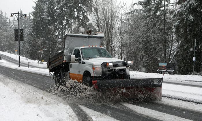
Environment and Climate Change Canada has issued a pair of weather alerts for communities along British Columbia’s north and central coast, warning that a strong frontal system could bring significant rain and heavy mountain snow through the end of the week. The agency says areas from Bella Coola through Kitimat may receive as much as 70 millimetres of rain, raising the risk of water pooling on roads and possible washouts near rivers and creeks.
The system is expected to weaken by Friday, but officials caution that changing conditions may still affect travel across coastal corridors. While the warnings are focused on northern regions, forecasters note that moisture from the system may contribute to unsettled conditions farther south, including parts of the Lower Mainland.
At the same time, Environment Canada has widened its snowfall warning in the northwest. Previously limited to Haines Road near the Yukon–Alaska border, the alert now includes White Pass, south of Carcross, where forecasters say up to 30 centimetres of snow could accumulate. Drivers heading toward northern highways or planning cross-border travel are being urged to prepare for rapidly deteriorating road conditions.
These alerts come as B.C. communities continue to monitor early winter weather patterns that can affect transportation, emergency response and regional supply routes. Local authorities are reminding residents to check for updates and adjust travel plans where necessary.


